Experience the Canal as Its Builders Intended
The Shubenacadie Canal and Waterway has long been a great outing for recreational canoe and kayak trippers. It seems as if it was designed specifically for those who enjoy the idea of completing a wilderness route from start to finish. In more recent years, paddle boarding has also become a popular recreational experience on the stiller waters of Lake Banook and Shubie Park. At least one person (external link) has even completed the full route while swimming!
Canoe, kayak, and paddle board rentals are available at Shubie Park. Visit our Canoe / Kayak Rentals page for more details.
Canoe Kayak Nova Scotia offers a detailed interactive map of all public access points on the Shubenacadie Canal Waterway and other inland routes, available at left and on their website (external link). Clicking on an access point on their map will give you a link to a full info sheet on that particular location, including all amenities and any restrictions.
For ideas on where to stay while paddling the canal, visit our Camping page.
THE ROUTE
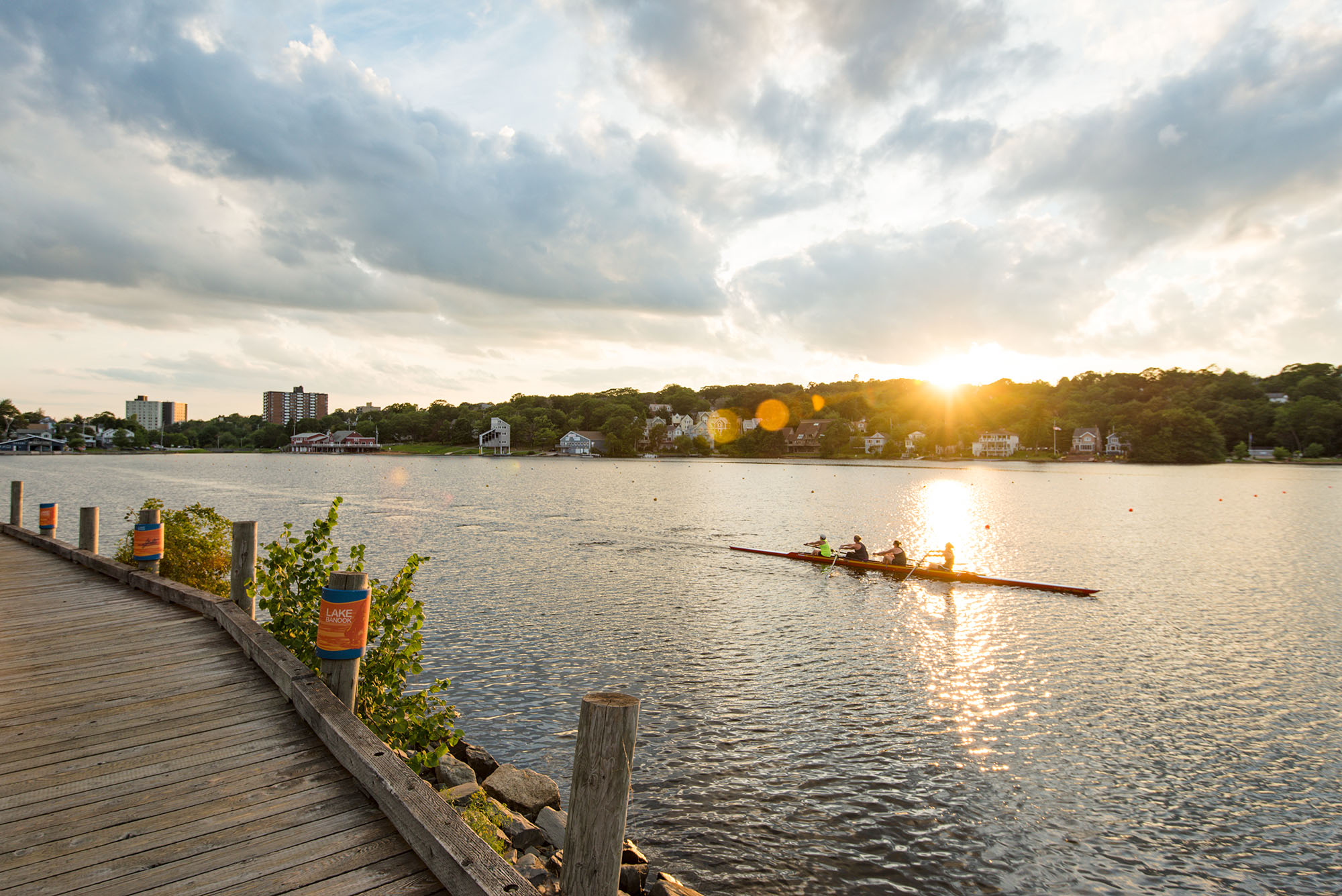
Lake Banook serves as the logical beginning for a paddling excursion, with its calm waters and various public boat launch areas. The lake is only 1.5 km long and has lots of activity with competitive canoe/kayak races, as well as rowing. A number of rowing and aquatic clubs operate on the lake.
From Lake Banook, you can paddle directly into Lake Micmac. This lake is home to water skiers and jet-boats, which means more care must be taken to ensure safe paddling. The many coves, abundant wildlife, and the existence of the remnant canal structures make up for the extra care required.
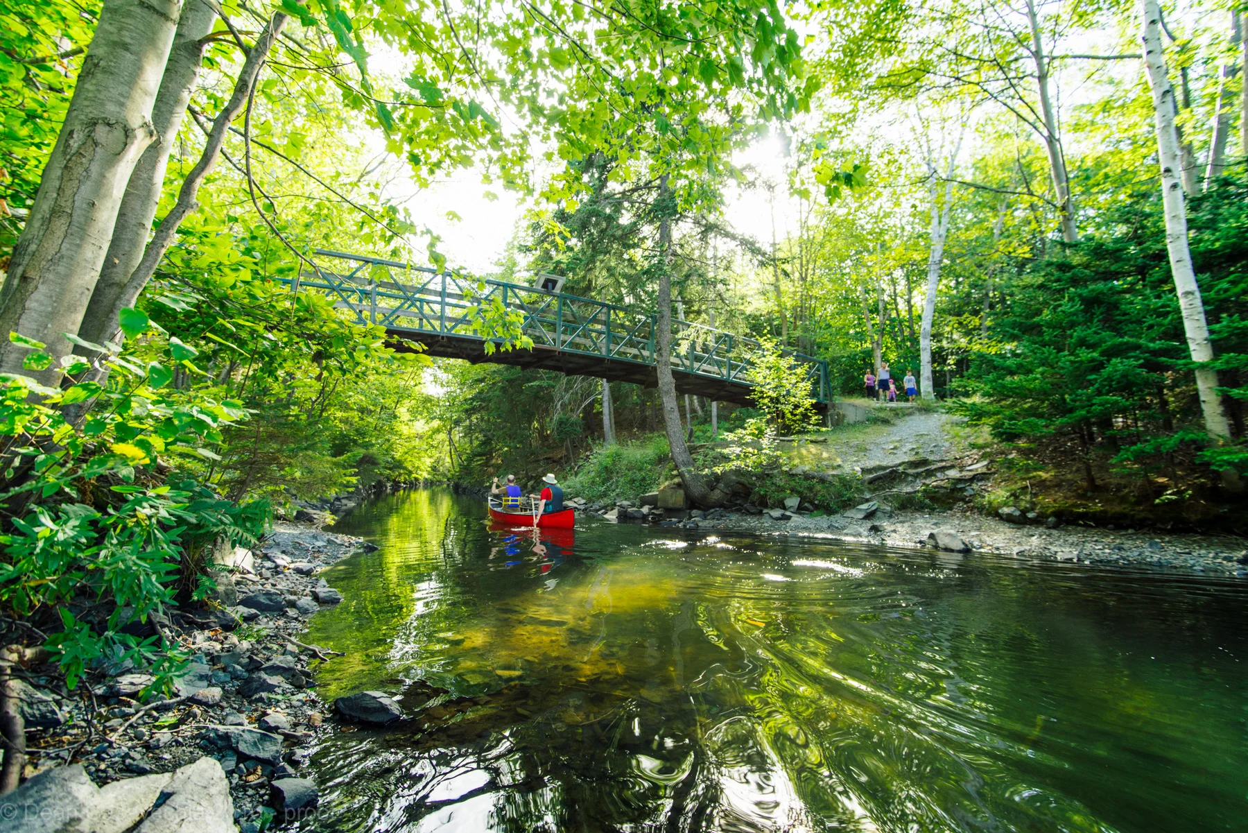
From Lake Micmac, you will need to portage around Lock 2 to enter Shubie Park. Docks are conveniently located on each side. Within the park, you will need to portage again around Lock 3; once again, docks are located on each side, including an accessible dock on the upper side of the lock.
From Lock 3, you can continue through the Deep Cut up to Lake Charles. Lake Charles is also home to water skiers, but the lake is fairly long (4 km) and large enough to share with all user groups. There is an increasing number of recreational canoeists and kayakers on this lake.
At the end of Lake Charles, there is another portage at the former location of the Portobello Marine Railway. This is a long portage at 1.5 km, which can be difficult to make with large boats.
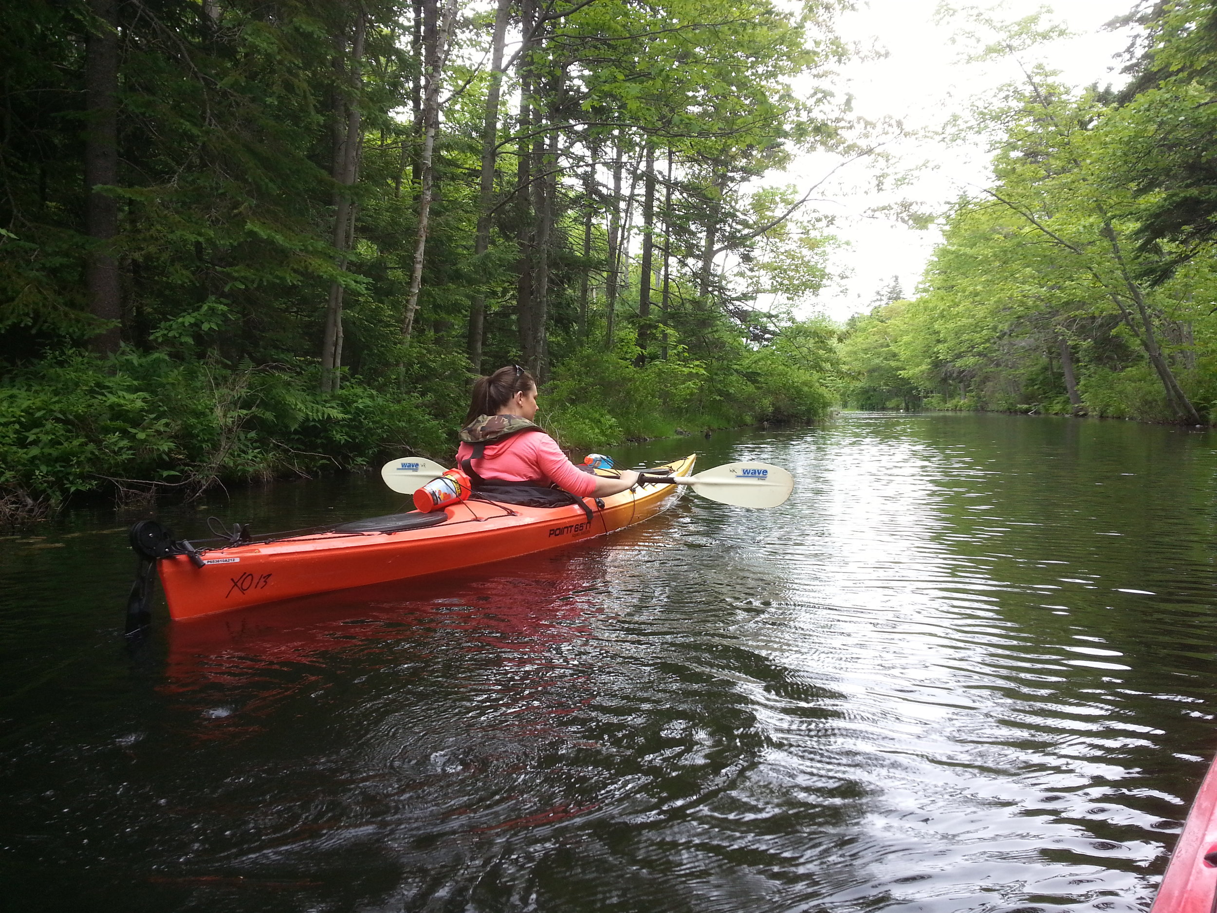
Lake William, Lake Thomas and Lake Fletcher are all surrounded by rural and woodland areas, making the trip a diverse experience. Landowners on the lakes may also be found enjoying the paddling opportunities. The local paddling club, Cheema, also uses Lake Thomas daily, as children enjoy the calm waters for training.
Once at the northern end of Lake Fletcher, a few short portages are required to access Grand Lake. This lake is very large and often too windy for paddling. If you stick the morning, when winds are calmer, you can reach the campground at Laurie Provincial Park.
From Laurie Provincial Park, you can paddle another 6.5 km north to the head of the Shubenacadie River, completing the lake section of the canal. It is in Sandy Cove, just past Oakfield Provincial Park, that the route opens into a pleasant 40 km of paddling down the meandering Shubenacadie River.
Once at the village of Shubenacadie, the tidal portion of the route begins. When the tidal bore comes into the river, it generates waves large enough to support whitewater rafting. Recreational canoeing becomes considerably more difficult during these times. You should take care to plan your journey through this part of the river during times of the day when the tidal bore is not at its height.
Maps of The Waterway
Looking for maps of the river and canal?
We have two that cover the entire Shubenacadie Canal Waterway. These maps identify required portages, historical canal features and much much more. Click on Shubenacadie Canal and River System Maps to see the low resolution maps.
Paper copies are available for purchase at the Fairbanks Centre. Click the link to purchase.

General advice to paddlers
Paddling the Shubenacadie Canal is a very rewarding experience with all the history, wildlife and just plain fresh air. Here are some answers to commonly asked questions:
Q: What is the best time of year to paddle the canal?
A: There is a lot of water in the system in the spring with snow melt and April showers, but the waterway tends to drain pretty early, so paddlers should consider making the trip before July.
Q: What is the best direction to go?
A: Most of the water flow is north, so it is easier to go with the flow. It is downhill that way too, so the portages are a little easier.
Q: Are there portages?
A: Yes, there are several portages, ranging from a simple lift over some rocks, to the 400 m. long path through Shubie Park. It is much more enjoyable if you have a boat which weighs less than 25 kg.
Q: Will I need a map(s)?
A: There are general route maps showing the bird’s eye view of the geography but you should do some research and make sure you know where the rest stops are, the access points and the distances between each.
Q: How many access points are there?
A: There are 17 well defined access points along the route and they are all available on Google Earth. You can get the KMZ file for them. You need the “Google Earth" s/w to see it (it is free).
Q: What is the distance?
A: The entire route is 114 km. long but even the best paddlers break it up into at least three sections.
Q: How much time should I allocate?
A: The best recorded time for the route is a total of 22 hours, but that is with an extreme knowledge of the local conditions and knowing the tide times. Plus, it was completed in racing (ultra light) canoes. You should calculate at least double/triple that.
Q: Can I stay overnight anywhere?
A: There are a few places to stay along the route but you have to know that almost all of the shoreline property is private so make sure you plan ahead if you intend to stay overnight somewhere.
Q: Is the wind a factor?
A: It will often be at your back if you are going north but the lakes can blow up pretty good by afternoon, particularly Grand Lake, so you need to be comfortable in the wind.
Q: Is the Shubenacadie River. suitable for kayaks in its entire 72 km’s?
A: The River is definitely suitable for paddling, however it depends on your skill and the tide. When the tide is coming in (around 3-4hrs every 12 hrs), it is more appropriate for highly skilled kayakers. A beginner can manage the River when it is going out — but we can’t emphasize enough that you have to be aware of the time and know exactly when the bore will be coming through. As well, during the summer months there are areas that would require portaging.
Water Levels
The SCC doesn’t have the capacity to monitor water levels along the waterway, some details can be found HERE (external government site).
You can also try contacting Canoe Kayak Nova Scotia .
Canoe to the Sea
Canoe to the Sea will not be taking place in 2023.


Canoe to the Sea 2017